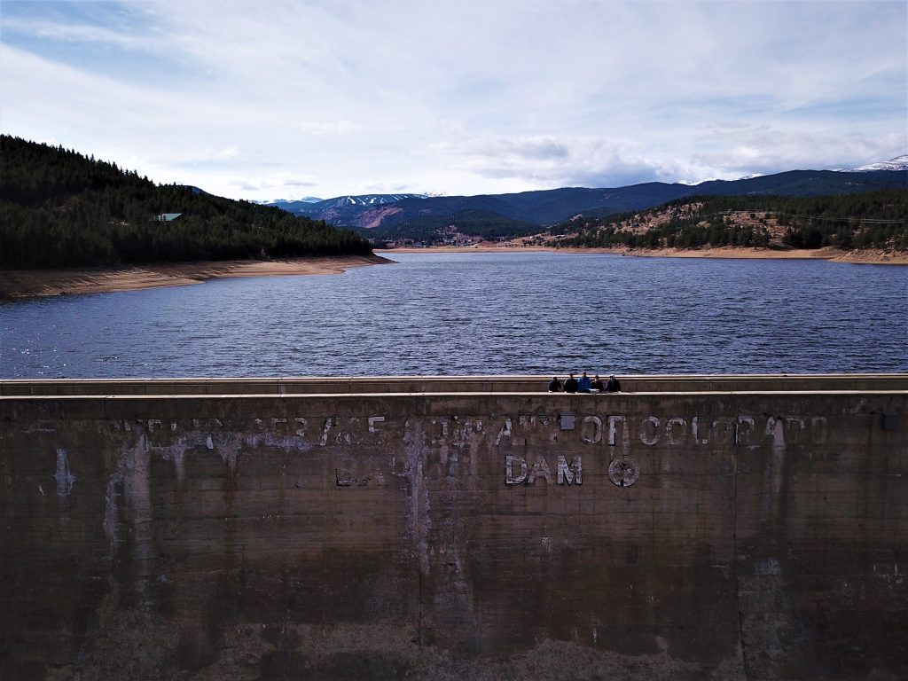
In December 2018, Drone Video Partners presented to the City of Boulder, Colorado, a high resolution, orthorectified 3D model of Barker Dam, a vital asset for the city’s water supply.
You may view and manipulate the 3D model by clicking here.
Free Download: Best Practices for Procurement of Municipal UAS Services (opens in new window)
The mission is believed to be one of the first in the nation where a drone was used to document a large, publicly owned dam.
While on-location, Drone Video Partners, in alliance with Stucland Aerial & Imaging, also produced a web-based virtual reality experience of Barker Dam and the surrounding terrain. Click here to see the 360-degree aerial panorama.
The 3D model, as well as TIF, KML, XYZ, and HTML data sets, document the “as is” state of the exterior of the dam and spillway.
The collaboration with Boulder Department of Water Resources Management resulted in a valuable exchange of knowledge about how local governments may request, procure, and fulfill UAS services.
The best practices are summarized in this vendor-neutral, educational presentation with useful links to how other local governments are integrating unmanned aerial systems (drones) into their operations.
Free Download: Best Practices for Procurement of Municipal UAS Services (opens in new window).