
Case studies
Missions where the data mattered as much as the picture.
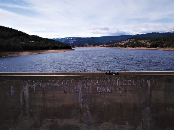
UAS Mapping of Barker Dam
A high resolution, orthorectified 3D model of a vital municipal water asset — believed to be one of the first missions in the nation to document a large, publicly owned dam by drone.
Got a site that needs documenting?
Mapping, 3D models and 360-degree panoramas — tell us what decision the data has to support.