
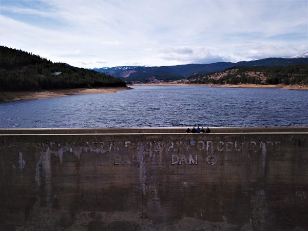
Best Practices for Procurement of Municipal UAS Services
A vendor-neutral guide for local governments — presented to the City of Boulder, Colorado, December 2018.
This guide came out of the Barker Dam mapping mission, a collaboration with Boulder’s Department of Water Resources Management. It is deliberately vendor-neutral: it is about how to specify and buy drone work well, not about hiring us.
Use the arrows or your left and right arrow keys to page through all 18 slides. Each slide’s text is below it, so it stays readable on a phone.
The guide, slide by slide
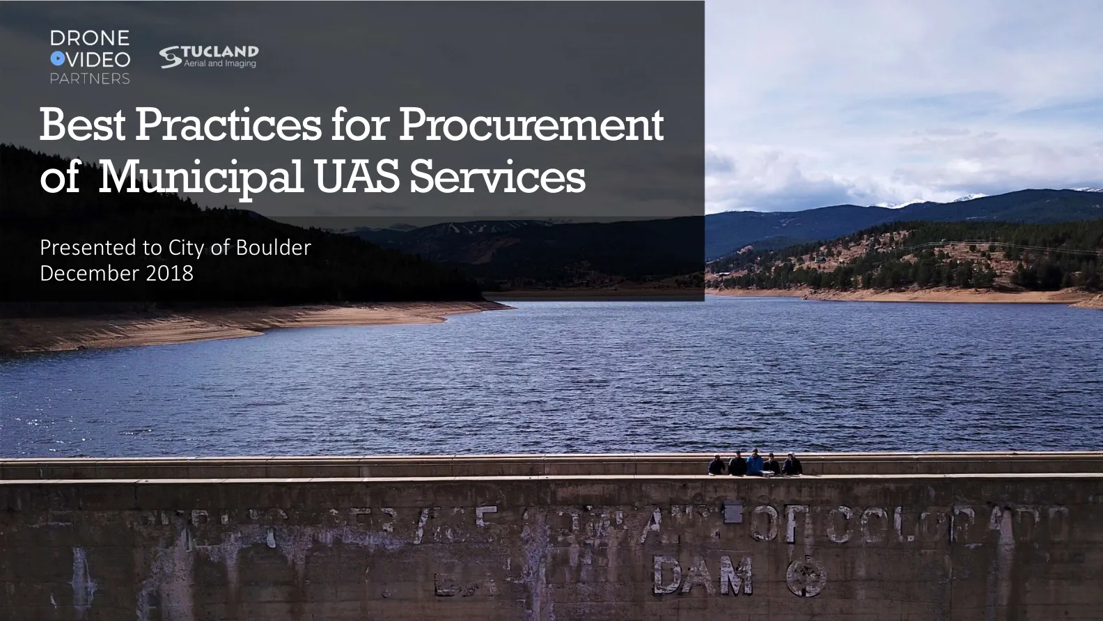
1Best Practices for Procurement of Municipal UAS Services
Presented to City of Boulder December 2018
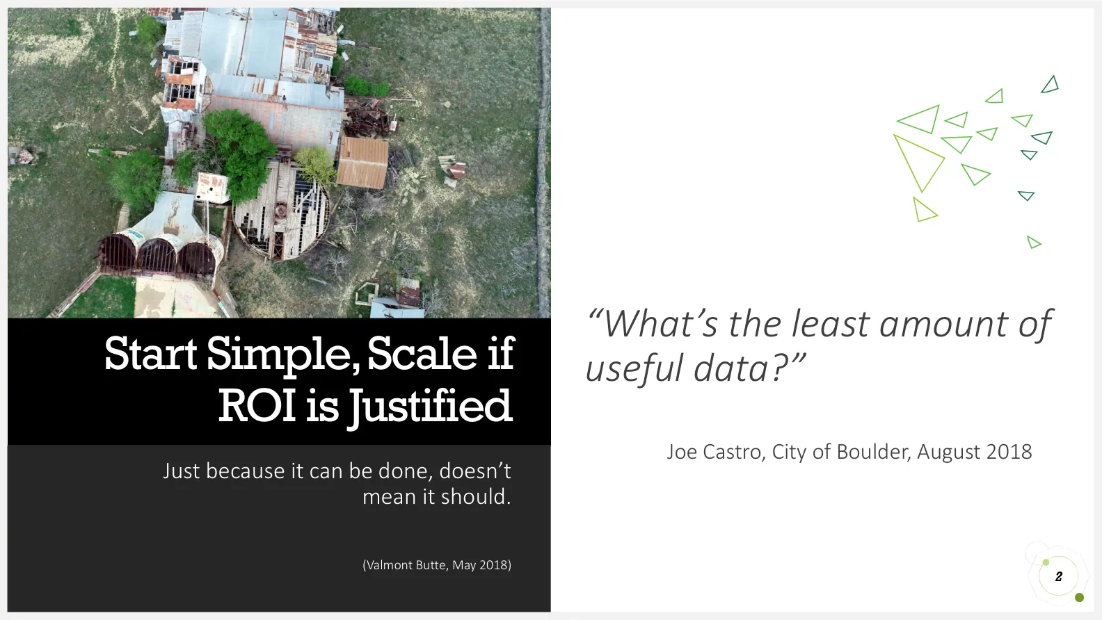
2Start Simple, Scale if ROI is Justified
Just because it can be done, doesn’t mean it should.
“What’s the least amount of useful data?”
- Joe Castro, City of Boulder, August 2018
(Valmont Butte, May 2018)
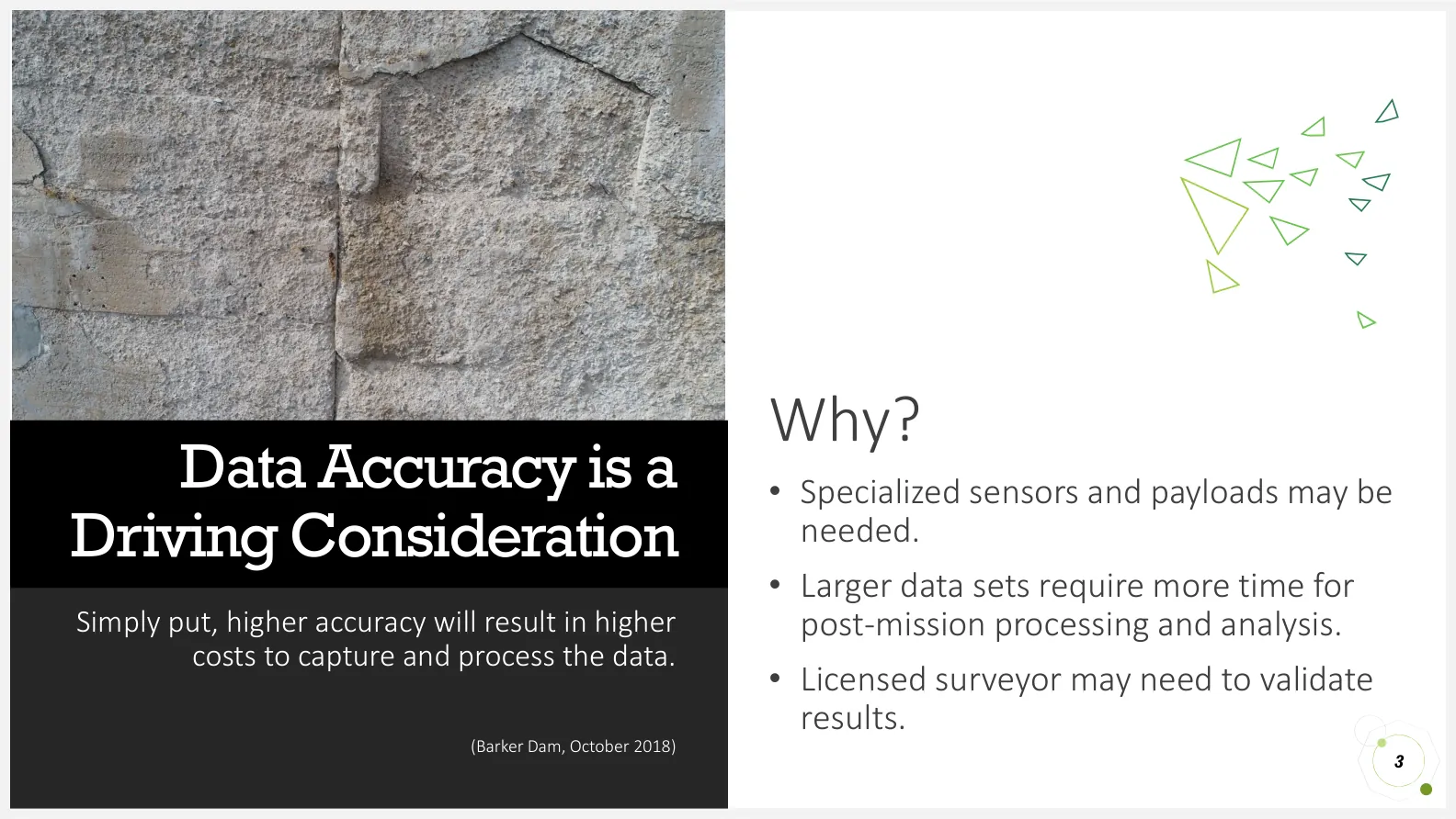
3Data Accuracy is a Driving Consideration
Simply put, higher accuracy will result in higher costs to capture and process the data.
Why?
- Specialized sensors and payloads may be needed.
- Larger data sets require more time for post-mission processing and analysis.
- Licensed surveyor may need to validate results.
(Barker Dam, October 2018)
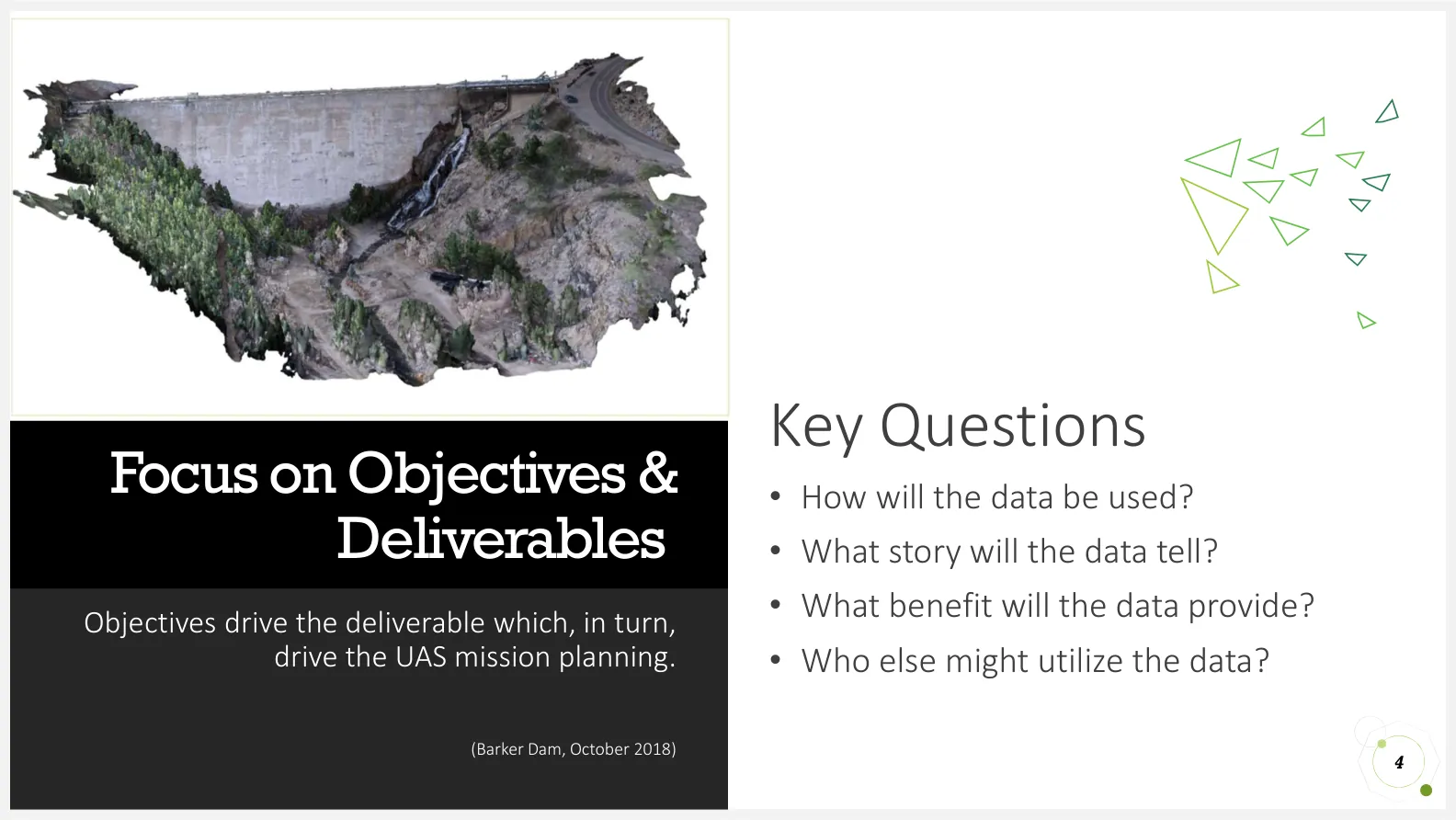
4Focus on Objectives & Deliverables
Objectives drive the deliverable which, in turn, drive the UAS mission planning.
Key Questions
- How will the data be used?
- What story will the data tell?
- What benefit will the data provide?
- Who else might utilize the data?
(Barker Dam, October 2018)
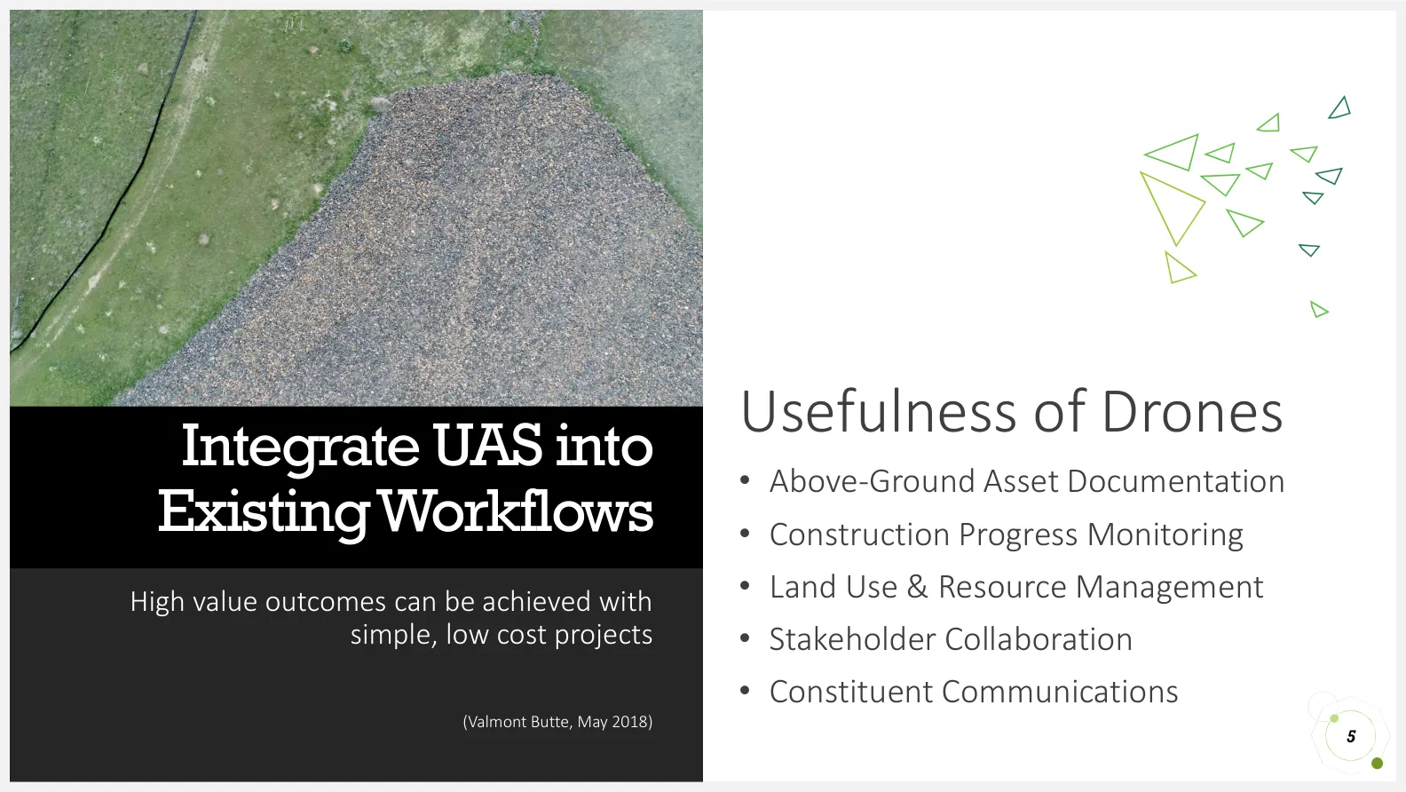
5Integrate UAS into Existing Workflows
High value outcomes can be achieved with simple, low cost projects
Usefulness of Drones
- Above-Ground Asset Documentation
- Construction Progress Monitoring
- Land Use & Resource Management
- Stakeholder Collaboration
- Constituent Communications
(Valmont Butte, May 2018)
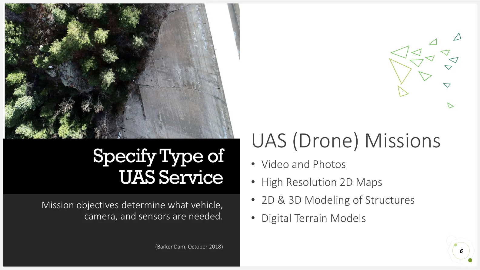
6Specify Type of UAS Service
Mission objectives determine what vehicle, camera, and sensors are needed.
UAS (Drone) Missions
- Video and Photos
- High Resolution 2D Maps
- 2D & 3D Modeling of Structures
- Digital Terrain Models
(Barker Dam, October 2018)
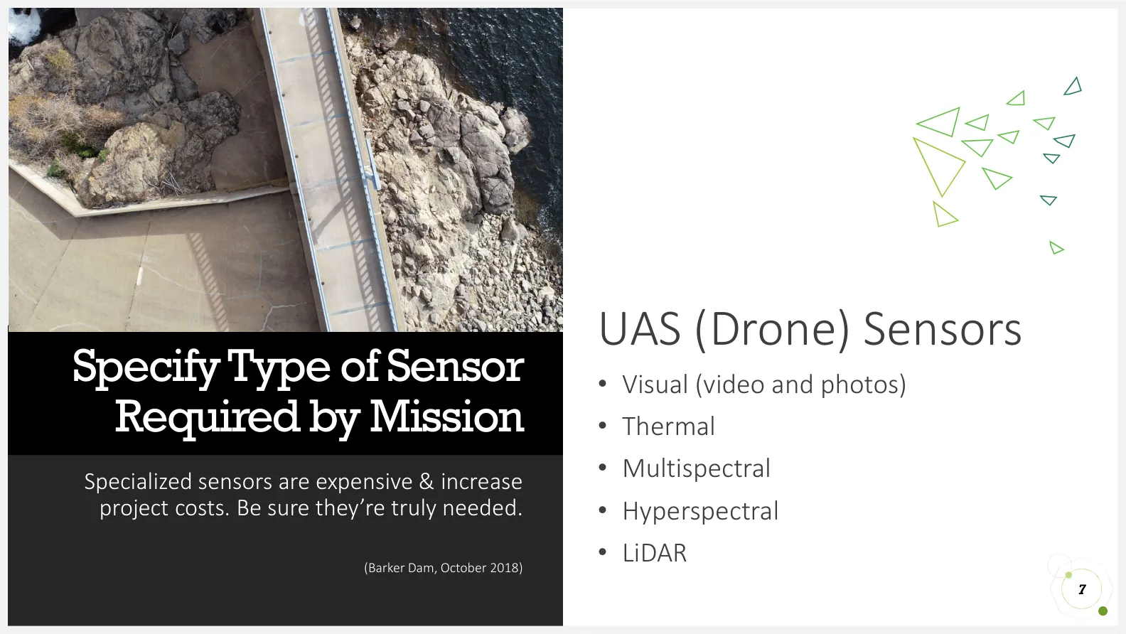
7Specify Type of Sensor Required by Mission
Specialized sensors are expensive & increase project costs. Be sure they’re truly needed.
UAS (Drone) Sensors
- Visual (video and photos)
- Thermal
- Multispectral
- Hyperspectral
- LiDAR
(Barker Dam, October 2018)
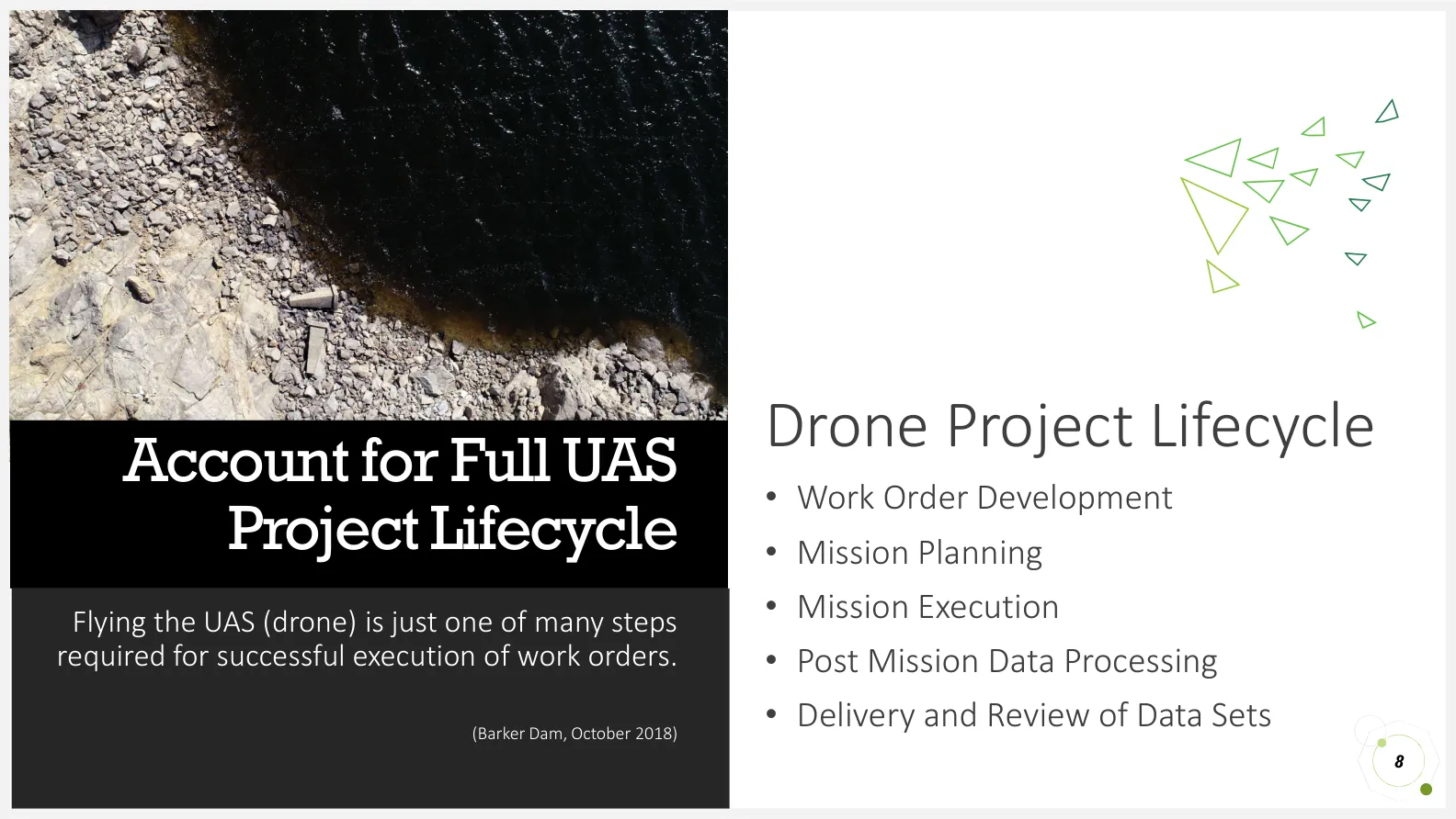
8Account for Full UAS Project Lifecycle
Flying the UAS (drone) is just one of many steps required for successful execution of work orders.
Drone Project Lifecycle
- Work Order Development
- Mission Planning
- Mission Execution
- Post Mission Data Processing
- Delivery and Review of Data Sets
(Barker Dam, October 2018)
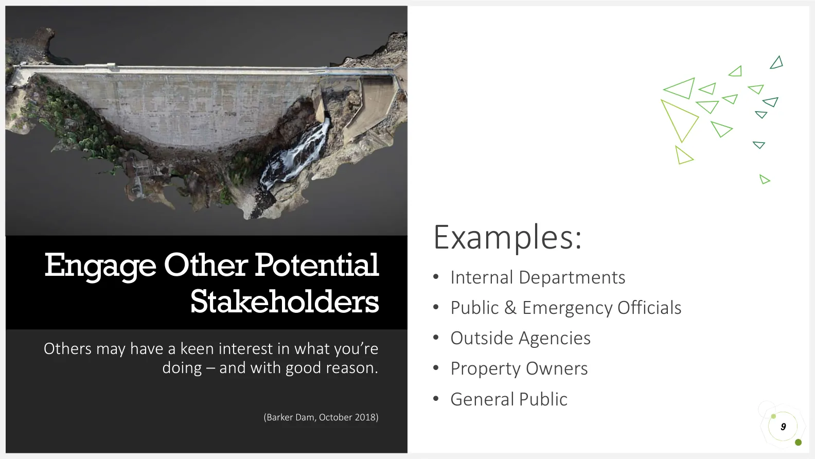
9Engage Other Potential Stakeholders
Others may have a keen interest in what you’re doing – and with good reason.
Examples:
- Internal Departments
- Public & Emergency Officials
- Outside Agencies
- Property Owners
- General Public
(Barker Dam, October 2018)
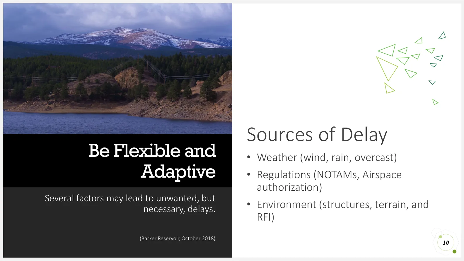
10Be Flexible and Adaptive
Several factors may lead to unwanted, but necessary, delays.
Sources of Delay
- Weather (wind, rain, overcast)
- Regulations (NOTAMs, Airspace authorization)
- Environment (structures, terrain, and RFI)
(Barker Reservoir, October 2018)
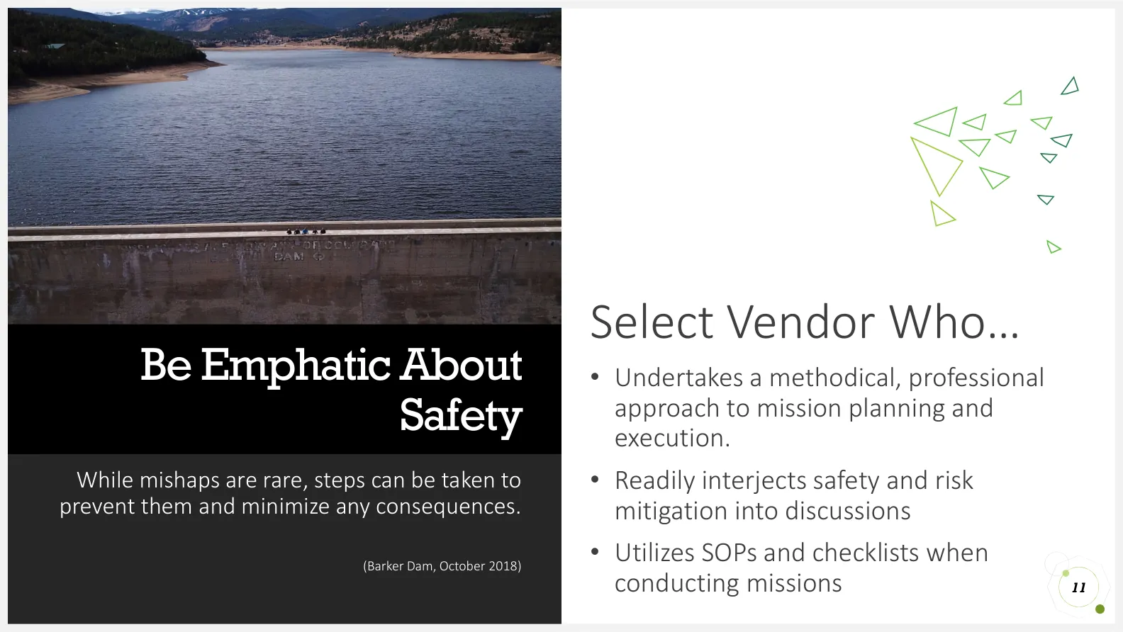
11Be Emphatic About Safety
While mishaps are rare, steps can be taken to prevent them and minimize any consequences.
Select Vendor Who…
- Undertakes a methodical, professional approach to mission planning and execution.
- Readily interjects safety and risk mitigation into discussions
- Utilizes SOPs and checklists when conducting missions
(Barker Dam, October 2018)
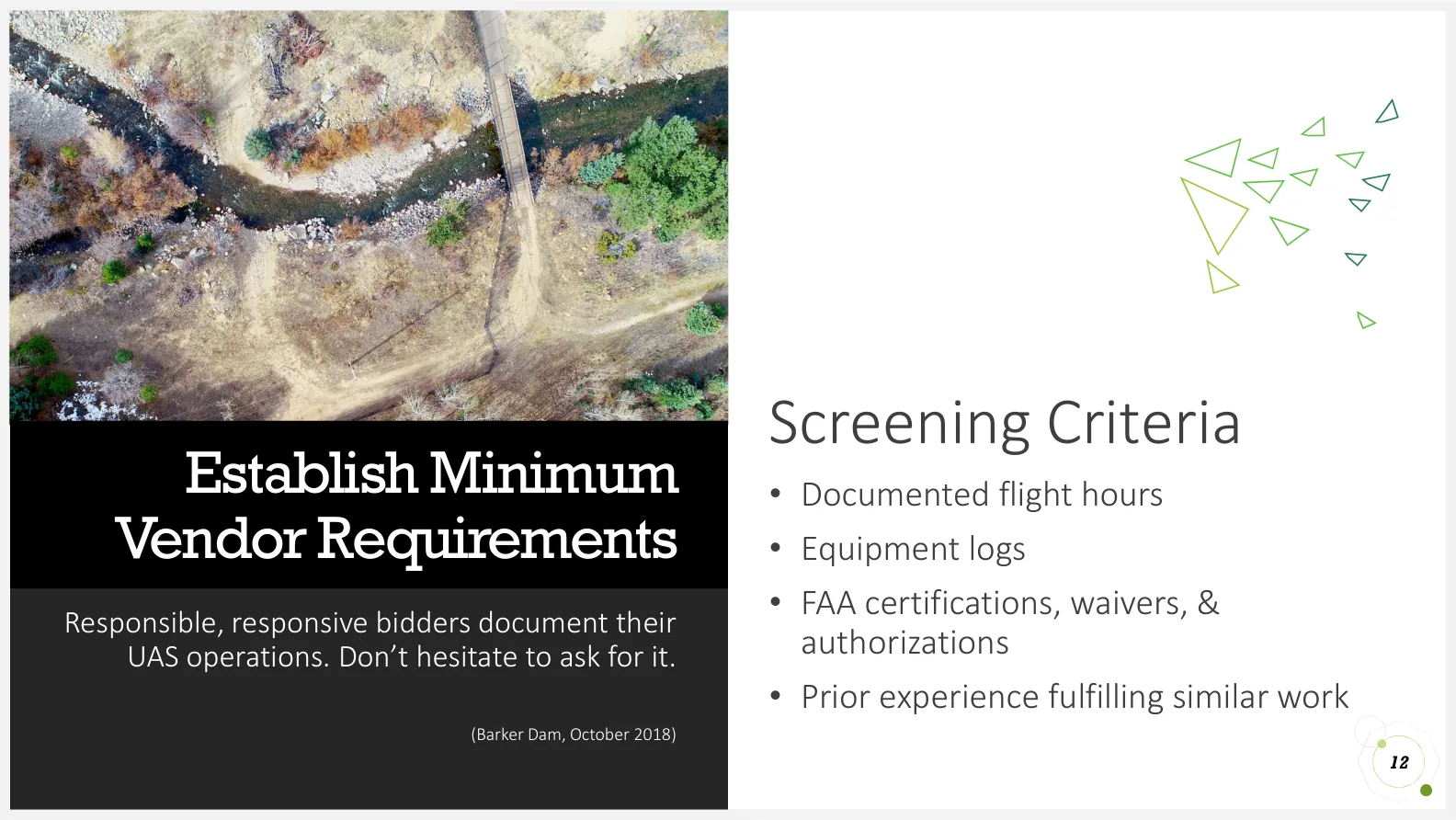
12Establish Minimum Vendor Requirements
Responsible, responsive bidders document their UAS operations. Don’t hesitate to ask for it.
Screening Criteria
- Documented flight hours
- Equipment logs
- FAA certifications, waivers, & authorizations
- Prior experience fulfilling similar work
(Barker Dam, October 2018)
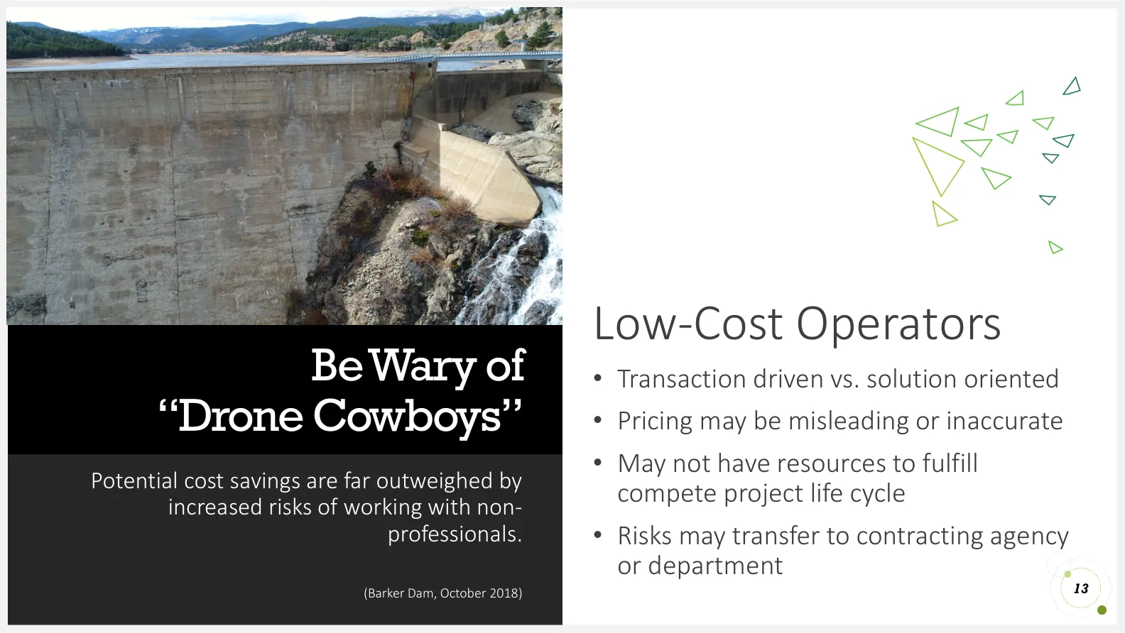
13Be Wary of “Drone Cowboys”
Potential cost savings are far outweighed by increased risks of working with non-professionals.
Low-Cost Operators
- Transaction driven vs. solution oriented
- Pricing may be misleading or inaccurate
- May not have resources to fulfill compete project life cycle
- Risks may transfer to contracting agency or department
(Barker Dam, October 2018)
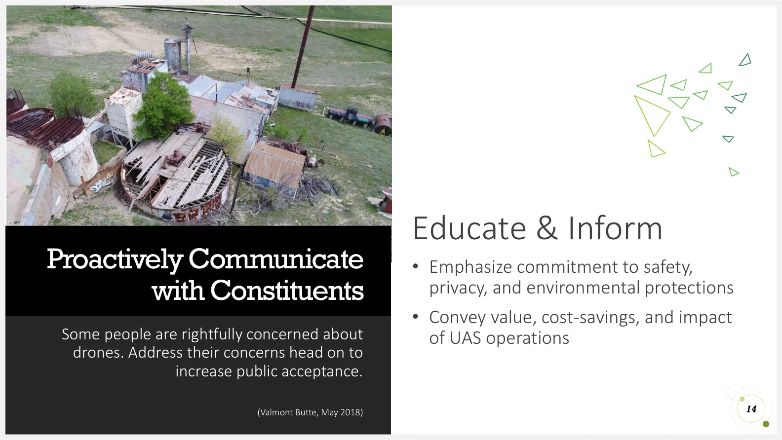
14Proactively Communicate with Constituents
Some people are rightfully concerned about drones. Address their concerns head on to increase public acceptance.
Educate & Inform
- Emphasize commitment to safety, privacy, and environmental protections
- Convey value, cost-savings, and impact of UAS operations
(Valmont Butte, May 2018)
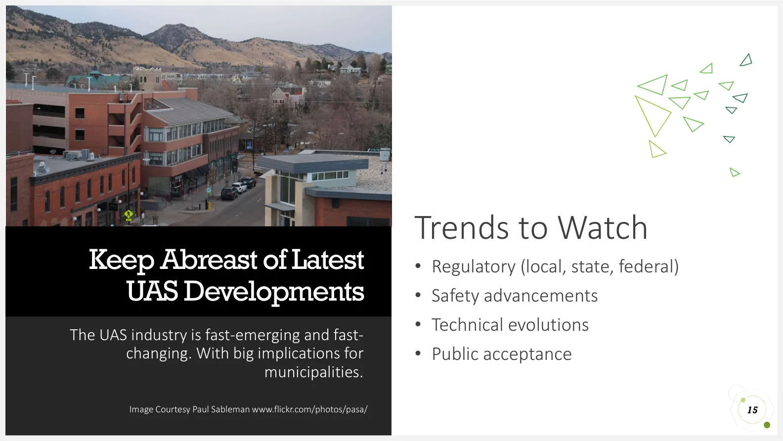
15Keep Abreast of Latest UAS Developments
The UAS industry is fast-emerging and fast-changing. With big implications for municipalities. Image Courtesy Paul Sableman www.flickr.com/photos/pasa/
Trends to Watch
- Regulatory (local, state, federal)
- Safety advancements
- Technical evolutions
- Public acceptance
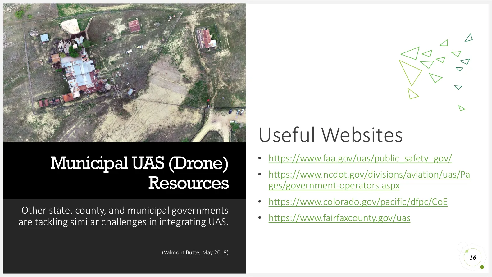
16Municipal UAS (Drone) Resources
Other state, county, and municipal governments are tackling similar challenges in integrating UAS.
Useful Websites
- https://www.faa.gov/uas/public_safety_gov/
- https://www.ncdot.gov/divisions/aviation/uas/Pages/government-operators.aspx
- https://www.colorado.gov/pacific/dfpc/CoE
- https://www.fairfaxcounty.gov/uas
(Valmont Butte, May 2018)
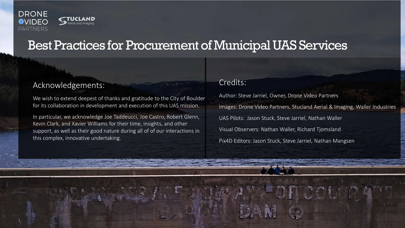
17Best Practices for Procurement of Municipal UAS Services
Acknowledgements: We wish to extend deepest of thanks and gratitude to the City of Boulder for its collaboration in development and execution of this UAS mission. In particular, we acknowledge Joe Taddeucci, Joe Castro, Robert Glenn, Kevin Clark, and Xavier Williams for their time, insights, and other support, as well as their good nature during all of of our interactions in this complex, innovative undertaking.
Credits:
- Author: Steve Jarriel, Owner, Drone Video Partners
- Images: Drone Video Partners, Stucland Aerial & Imaging, Waller Industries
- UAS Pilots: Jason Stuck, Steve Jarriel, Nathan Waller
- Visual Observers: Nathan Waller, Richard Tjomsland
- Pix4D Editors: Jason Stuck, Steve Jarriel, Nathan Mangsen
18Thank you!
Steve Jarriel [email protected] www.dronevideopartners.com Jason Stuck [email protected] www.stucland.com All content including copy, images, and renderings are intellectual property of Drone Video Partners, LLC Distribution authorized via Creative Commons license “Attribution non-commercial, no derivatives.”
and Stucland Aerial & Imaging .
Planning a municipal drone project?
We are happy to talk through scope and deliverables, whoever ends up flying it.
Or call +1 571-308-2909.